Brisbane's rapid expansion into the western suburbs and the D'Aguilar Range foothills has put pressure on steep, formerly undeveloped slopes. The city sits on folded sedimentary sequences of the Neranleigh-Fernvale Beds, which often produce colluvial soils prone to sudden mobilisation during intense summer storms. When these soils become saturated, a debris flow can travel at speeds exceeding 10 m/s, carrying boulders and vegetation downslope. Our team has modelled hundreds of these events across the Brisbane region, using back-analyses of historic failures from the 1974 and 2011 floods. The key is understanding the triggering rainfall threshold for each catchment. We integrate this with a stability analysis to define the critical slip surface, and when needed, a [MASW survey](/masw-vs30/) to map the depth of colluvium across the slope.
A debris flow travelling at 10 m/s can destroy a house in under two seconds — pre-construction analysis is the only real protection.
Scope of work
For Brisbane conditions, we follow AS 1726-2017 for subsurface investigation and AS 4678-2002 for earth-retaining structures, but debris flow modelling demands additional protocols. Our methodology starts with a detailed terrain classification using the LiDAR data available through the Queensland Government. We then run laboratory tests on the colluvial matrix: grain-size distribution, Atterberg limits, and ring-shear tests to determine the residual friction angle. The critical parameter for Brisbane debris flows is the soil's brittleness index, because many of these slopes exhibit strain-softening behaviour. We apply the Hungr model for runout distance and the Iverson theory for pore-pressure evolution. The outputs feed directly into a site-specific risk matrix that complies with the Queensland Landslide Risk Management Guidelines (2014). All work is conducted under our NATA-accredited quality system.
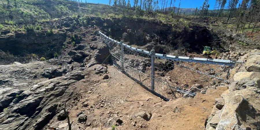
Technical reference image — Brisbane
Area-specific notes
The most common mistake we see on Brisbane developments is treating a debris flow risk as a simple slope stability problem. A contractor might run a standard limit-equilibrium analysis, find a factor of safety above 1.5, and assume the slope is safe. That approach misses the entire mechanism: debris flows are triggered by a sudden loss of soil strength due to rising pore pressure, not by a gradual increase in shear stress. We have visited sites in Chapel Hill and Pullenvale where the static factor of safety was 1.8, yet the slope failed catastrophically during a one-in-twenty-year storm. Without a dedicated debris flow analysis, you are gambling with the structural integrity of your project and the safety of future occupants.
High-resolution terrain analysis using LiDAR and historical landslide inventories. We identify initiation zones, transport paths, and deposition areas specific to the Brisbane geological setting.
02
Runout Modelling
Numerical simulation using the DAN3D and RAMMS codes. We calibrate against known events from the 2011 Brisbane floods to produce realistic hazard footprints for your site.
03
Risk-Based Design Recommendations
We translate flow depths, velocities, and impact pressures into structural design loads for barriers, diversion channels, and building setbacks. Reports are signed off by our chartered engineering geologist.
Standards used
AS 1726-2017 Geotechnical Site Investigations, AS 4678-2002 Earth-Retaining Structures, Queensland Landslide Risk Management Guidelines (2014), Australian Geomechanics Society Landslide Risk Management (2007)
Frequently asked questions
What is the difference between a landslide and a debris flow?
A landslide involves the downslope movement of a coherent mass along a discrete shear surface. A debris flow is a fluidised mixture of soil, water, and debris that behaves like a viscous liquid. In Brisbane, debris flows typically occur in colluvial soils after intense rainfall, whereas landslides are more common in residual soils on planar bedding planes.
How long does a debris flow analysis take for a residential block in Brisbane?
A standard analysis for a single residential block takes three to five weeks from site inspection to final report. This includes field mapping, one day of test pitting or hand augering, laboratory testing, numerical modelling, and risk assessment. Larger subdivisions require additional time for catchment-scale modelling.
What is the cost of a debris flow analysis in Brisbane?
The cost ranges between AU$1,800 and AU$5,680 depending on the site complexity, the number of runout scenarios modelled, and whether laboratory testing is required. A basic desktop assessment for a small block starts at the lower end, while a full field-based analysis with ring-shear testing and two-dimensional modelling sits at the upper end.
Can debris flow analysis be used for insurance or council compliance?
Yes. Brisbane City Council requires a geotechnical assessment for any development on slopes steeper than 15% or within mapped landslide hazard zones. Our reports are accepted by council planners and have been used successfully to support insurance claims and premium negotiations following the 2022 flood events.