Under AS/NZS 1170.2:2021, seismic actions on structures in Brisbane depend on the site sub-soil class determined from the average shear wave velocity in the top 30 metres (VS30). The city sits on a mix of near-surface sedimentary formations of the Neranleigh-Fernvale beds and residual soils from the Brisbane Tuff, making direct VS30 measurement via MASW (Multichannel Analysis of Surface Waves) the most reliable method to avoid misclassification. A typical survey deploys 24 geophones at 2-metre spacing, generating a dispersion curve inverted to a 1D shear wave velocity profile. This non-invasive approach complements a study of soil mechanics when the geotechnical model requires both strength and stiffness data.
Brisbane's mixed geology of residual soils and alluvial basins makes direct VS30 measurement essential for accurate site class assignment under AS/NZS 1170.2.
Scope of work
Brisbane's geology transitions from stiff clays and weathered phyllite in the inner suburbs to alluvial deposits of the Brisbane River corridor with sand, silt, and soft clay layers reaching depths of 10 to 20 metres. In such variable ground, MASW provides continuous velocity profiling without the need for boreholes, capturing lateral changes that a single SPT boring might miss. The survey outputs include VS30, fundamental site period and shear modulus reduction curves. When the project involves deep foundations on the river flats, combining MASW with a cone penetration test helps link stiffness to cone tip resistance. For cut slopes in the western suburbs, the dispersion data also assists in assessing stiffness contrasts that influence slope stability.
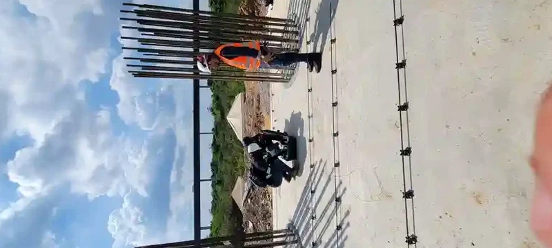
Technical reference image — Brisbane
Area-specific notes
A common error among developers in Brisbane is assuming a uniform ‘rock’ site class based on a few boreholes in the Tuff, while the MASW profile later reveals a softer weathered zone exceeding 10 metres. This misclassification can underestimate spectral accelerations by a factor of 1.5 to 2.0 under AS/NZS 1170.2, leading to under-designed foundations or excessive seismic drift in multi-storey buildings. The risk is particularly acute in the Kangaroo Point and South Bank areas, where the geological contact between the Tuff and alluvial fill is abrupt. Without VS30 data, the engineer may assign site class B when the actual response corresponds to class D.
C (shallow soil) to E (soft soil) typical for Brisbane
Standard compliance
AS 1289 / D7400, AS/NZS 1170.2:2021
Field productivity
6–8 profiles per day (1 crew, urban conditions)
Linked services
01
Active MASW Survey
Uses a sledgehammer or accelerated weight drop source with 24 geophones to resolve Vs profiles down to 30 m. Typical for suburban sites where space permits a 46 m linear array. Data processed with frequency-wavenumber (FK) and phase-shift methods.
02
Passive MASW (Microtremor Array)
Deploys a circular array of 6–10 geophones to capture ambient vibrations in the 0.1–10 Hz band. Ideal for inner-city Brisbane sites where active sources are impractical due to traffic or noise restrictions. Resolves deeper structure down to 60 m.
03
VS30 Site Classification Report
Combines active and passive MASW results with existing borehole lithology to assign the AS/NZS 1170.2 site sub-soil class (A to E). Includes dispersion curve, inverted Vs profile, and a clear recommendation for the design seismic coefficient.
Standards used
AS/NZS 1170.2:2021 – Structural design actions, Part 2: Earthquake actions, AS 1726:2017 – Geotechnical site investigations, AS 1289/D4428M-14 – Standard Test Methods for Crosshole Seismic Testing, NEHRP Recommended Seismic Provisions (FEMA P-1050) – Site classification criteria
Frequently asked questions
How is VS30 calculated from MASW data?
The shear wave velocity profile is derived by inverting the Rayleigh-wave dispersion curve obtained from the MASW survey. VS30 is the time-weighted average of the shear wave velocity over the top 30 metres: VS30 = 30 / sum(hi/Vsi), where hi is the thickness of each layer and Vsi its shear wave velocity. The result directly defines the site sub-soil class per AS/NZS 1170.2.
What is the typical cost range for a MASW/VS30 survey in Brisbane?
The cost for a standard MASW survey in the Brisbane region ranges between AU$2,550 and AU$4,750 depending on the number of profiles, site access conditions and whether passive microtremor arrays are required. This includes field acquisition, data processing, and a VS30 classification report. Volume discounts apply for multi-profile projects.
Can MASW replace boreholes for seismic site classification?
MASW provides continuous Vs profiling and is the preferred method for VS30 determination under AS/NZS 1170.2, but it does not replace boreholes entirely. Boreholes are still needed for soil classification, strength testing and groundwater measurement. In Brisbane, we recommend MASW as a cost-effective complement to a limited borehole program, covering the lateral variability that isolated holes cannot capture.
What are the main sources of uncertainty in MASW results?
The main uncertainties include the inversion ambiguity (multiple Vs profiles can fit the same dispersion curve), lateral heterogeneity in Brisbane's alluvial fills, and the limited depth resolution of the active source (typically 25–35 m). Using a combined active-passive approach and constraining the inversion with borehole stratigraphy reduces the uncertainty to within ±10–15 % for VS30.
How does Brisbane's geology affect MASW survey design?
In the western suburbs with shallow Tuff bedrock, a 24-geophone array at 1.5 m spacing is often sufficient. In the river corridor alluvium (e.g., New Farm, West End), longer spreads (2.5 m spacing) and passive arrays are necessary to capture the deeper soft layers. The presence of buried utility corridors and fill also requires careful geophone placement to avoid cultural noise.